Viamare is a group operating in marine services and tourism, responsible for, among other things, moorings, marina facilities and insurance-related cases. Since many incidents occur in archipelago and coastal environments, the geographical location is often decisive for understanding what has happened and how a case should be handled.
As tech lead I was given responsibility for producing a technical solution that gave the case workers a clearer geographical overview of ongoing insurance and incident cases. The work began by mapping the business's needs and understanding how location data could be integrated into the existing case-handling flow. The goal was to make the map a practical working tool, not merely a visual presentation.
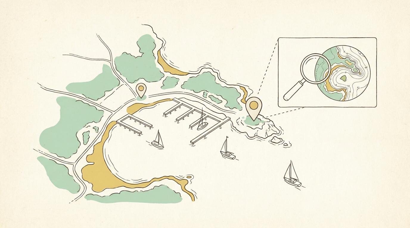
I was responsible for the technical solution design and led the implementation of an interactive map feature in the frontend with Leaflet.js. The solution visualises boats, moorings and ongoing cases directly on a map. Case workers can quickly see where an incident has occurred, identify nearby locations and gain a better understanding of the area's geographical conditions.
An important part of the implementation was connecting the map to the business's existing case data. Each marker was given relevant information and interaction, so the user could go from an overall map view to the details of a specific case. Satellite and street views also made it possible to examine coastlines, jetties, marinas, access roads and the surrounding environment without leaving the case-handling system.
In the tech lead role I drove the technical decisions, supported the development team and made sure the solution could be further developed and maintained over time. I worked closely with the business to continuously turn users' needs into concrete features and to create an interface that worked even when large amounts of geographical information needed to be presented clearly.
The finished map solution gave the case workers a shared visual basis for assessing insurance and incident cases. Instead of having to interpret addresses and location descriptions manually, they could see the incident's geographical context directly. That made it easier to verify details, understand the conditions on site and make better-founded decisions.
The result was a faster and more precise way of working when handling near-coast incidents. The map created a clear link between the boats, the locations and the administrative processes — and grew from a technical feature into a central decision-support tool in the case workers' daily work.